23 FEB 2013
Posted by admin on 2013-02-24 12:32:05
 |
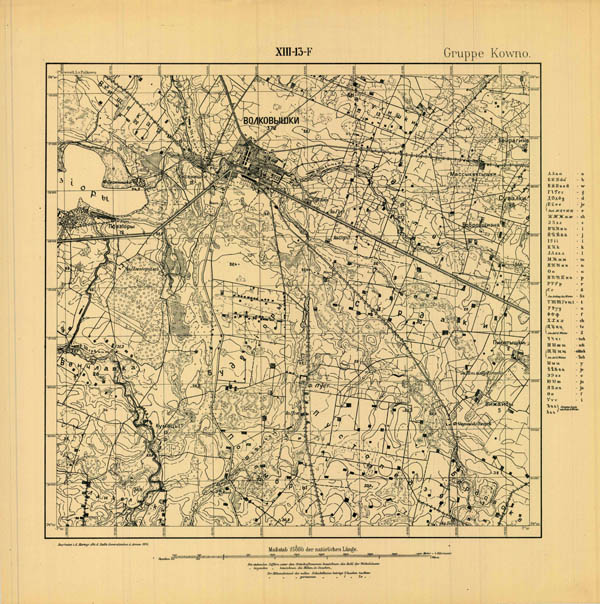
Chapter of German WWI maps in scale 1:25000 Russischen karte des Westlichen Grenzgebiets (Russian map of western frontier) supplemented by new information. Set covers territories from S.Petersburg and Estonia in North to West Ukraine in South, from front line in 1918 (west Belarus) in East to Baltic see in West. Interesting that preparing maps from this set German topographers use not only Russian verst maps but also made original survey... |
Extended News
Set supplemented by about 30 maps on Latvia. As you can observe there is very difficult numbering of maps from set. maps prepared by topographers of 8 Armee (an 10 Armee) have different continuous numeration (from 1 till xxxx), but numbering was not serial - observed some areas where probably were important military zones- there numbering is serial.

