05 MAY 2013
Posted by admin on 2013-05-05 20:34:57
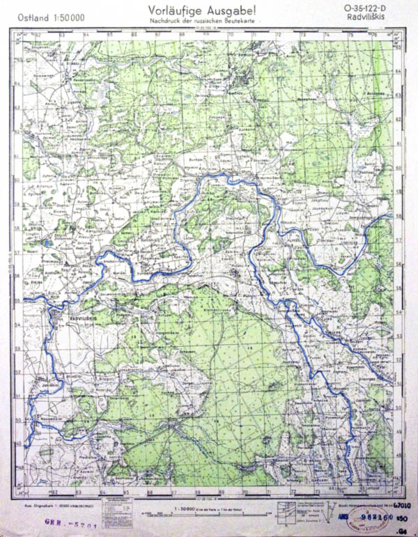
O-35-122-D New information supplemented chapter of set WWI German maps Ubersichtskarte von Europa und Vorderasien 1:800000 (Overview map of Europe and Middle East in scale 1:800000) and set of WWII German maps Ostland 1:50000 (set covers territories of present Estonia, Latvia, partially Lithuania).

Extended News
We found 1:50000 WWI German maps covering territories Lithuania. It is interesting that maps named as Umgebungskarte- in this key it is possible that part of Lithuania was covered by maps in scale 1:50000 (these maps probably created for administrative purposes). We found only small number of 1:50000 maps- it is to early to make some conclusions (to small number of maps, no literature...). Any ideas?