2024-05-03 16:36:43
Navigation
MAPS

We are recommending

Exhibition

Exhibitions

Exhibition

News
2013 01 08
Karte von Litauen Chapters OTHER GERMAN MAPS (1914-1919, First World War) and OTHERS GERMAN MAPS (1939-1945, Second World War) were supplemented by new maps and new information. Map of Lithuania (Karte von Litauen, Lietuvos žemlapis), 1918, 4-th edition, creators R. Friederichsen and C.A.Oselies presented in full size.
· admin on 2013-01-08 20:30:08 · Read More · 2074 Reads · Print
2013 01 01
Lithuania 1941 Year 2013 we starting with new chapter about MILITARY TOPOGRAPHY DEPARTMENT of of General staff of Ministry of Defense Lithuania (1918-1940). Chapters OTHER SINGLE MAPS of Inter-war Lithuania, 2-verst (1:84000) maps of Russian Empire, TOPOGRAPHICAL MAP SYMBOLS, LITERATURE were supplemented by new information.
· admin on 2013-01-01 18:45:38
Read More · 1978 Reads · Print
2012 12 23
Merry Christmas Merry Christmas and Happy New Year, dear maps4u.lt visitors! Priecīgus Ziemassvētkus un laimīgu Jauno gadu! Wesołych świąt i szczęśliwego Nowego Roku! Rõõmsaid Jõule ja Head Uut Aastat!
· admin on 2012-12-23 12:20:08
Read More · 1917 Reads · Print
2012 12 21
Lithuania culture Chapters SINGLE LITUANIAN MAPS (till 1918) and OTHER GERMAN MAPS (1914-1919) supplemented by new maps and new information. You know, on August 1914 also in Lithuania was total solar eclipse and map showing where it was possible to see was published in journal Vairas (link).
· admin on 2012-12-21 10:24:28
Read More · 1920 Reads · Print
2012 12 16
Ch.F. von Wrede War map of Silesia (Krieges-Carte von Schlesien) Chapter OTHER PRUSSIAN MAPS (17xx-1812) was supplemented by subchapter  "Krieges-Carte von Schlesien" (War map of Silesia) prepared by Christian Friedrich von Wrede in 1747-1753. Also section TOPOGRAPHICAL MAP SYMBOLS extended by new information.
· admin on 2012-12-16 15:46:23
Read More · 1832 Reads · Print
2012 12 12
Geography of Lithuania Several maps and plans from book Geography of Lithuania (1933, creator Adolfas Klimas) presented in chapters SINGLE MAPS of LITHUANIA (1918-1940) and PLANS of CITIES
· admin on 2012-12-11 20:58:39
Read More · 1942 Reads · Print
2012 12 08
Two-verst maps of Russian Empire Updated chapter of Two-verst (1:84000) maps of west borderland of Russian Empire (orig. named Двухверстовая карта западного пограничного пространства). This map for Russian army was as basic map during WWI, also this map was as basis for German topographers by publishing maps from set Karte des Westlichen Russlands (1:100000, 1911-1923), as basis for cartographers of independent States (Estonia, Latvia, Lithuania, Poland...) by creating own early maps...
· admin on 2012-12-08 11:16:56
Read More · 1843 Reads · Print
2012 11 29
Helsingfors 1:21000 
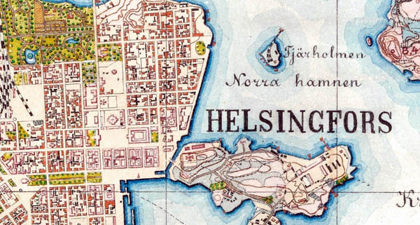
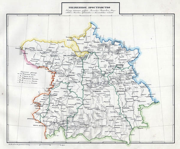
New information supplemented chapter of 0,5 verst (1:21000) maps of Russian empire. Maps in this scale covered territories of former west Russia empire (Finland, Estonia, partially Latvia, Lithuania, Poland...). As example - full size maps in scale 1:21000 XII-15-E (Kaunas and surroundings, 1889).
· admin on 2012-11-29 19:10:33
Read More · 1977 Reads · Print
2012 11 23
Map of Lithuania 
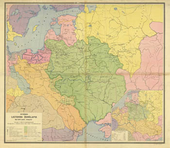
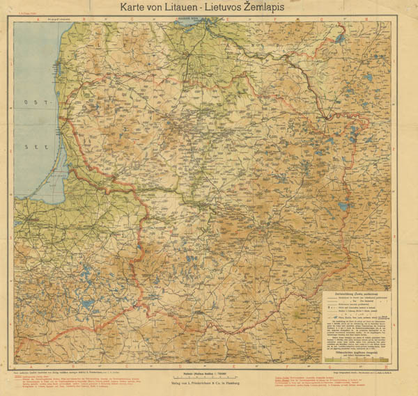
In case of 94-th anniversary of Lithuanian army (established in 1918) maps4u.lt presenting (full size) at chapter OTHER SINGLE MAPS of INTERWAR LITHUANIA Historic map of Lithuania till middle of XVI c. (Side-by-side Map of Lithuania from S.Batory till 1795). Cartography and drawing - Military topography department of GS MoD, 1937.
· admin on 2012-11-23 14:11:23
Read More · 1821 Reads · Print
2012 11 22
3 verst per inch map New information and new maps supplemented sets Military topographical map of European Russia (Военно-топографическая карта Европейской России) in scale 1:126000 (in inches three verst) and Special map of European Russia (Специальная карта Европейской России) in scale 1:420000 (10 verst per inch).
· admin on 2012-11-21 22:04:39
Read More · 1936 Reads · Print
2012 11 16
Map of flatlands (Russian Empire) Chapter of ATLASES of RUSSIAN EMPIRE supplemented by decription of atlases Atlas of Russian Empire composed from 43 maps showing 41 Guberniya (1800),  Detail atlas of Russian Empire created in order of minister of Education N.I. Zujev (1860) and Big World atlas, published by agency of A.F.Marks (1903). Maps from atlases showing territories of present Lithuania presented in full size.
· admin on 2012-11-16 21:46:03
Read More · 2000 Reads · Print
Languages, Kalbos, Языки
I like maps4u.lt
Login
Username

Password


Not a member yet?
Click here to register.

Forgotten your password?
Request a new one here.
Google
Counter
Hey.lt - Nemokamas lankytojų skaitliukas
Render time: 0.04 seconds 3,748,259 unique visits