German I WW maps in scale 1:800000 (index sheet)
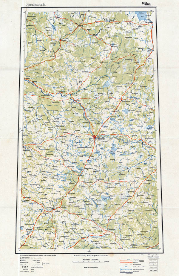
German maps on territories Europe and partially Asia and Africa in scale 1:800000 "Ubersichtskarte von Europa und Vorderasien 1:800000" (Overview map of Europe and Middle East in scale 1:800000) were published from I WW till 1927. It was published about 80 different maps from this series. Gradually International map in scale 1:1000000 replaced set "Ubersichtskarte von Europa und Vorderasien 1:800000".
Maps from set "Ubersichtskarte von Europa und Vorderasien 1:800000" have dimension 4 deg. longitude and 4 deg. latitude (about 70 cm x 42-60cm).
Longitude was considered from Ferro, later - from Greenwich.
Maps were printed in five colors.
L. Das Reichsamt fur Landesaufnahme und seine Kartenwerke. Berlin 1931 (1940).

Map O14 Wilna from set Ubersichtskarte von Europa und Vorderasien 1:800000, 1916

